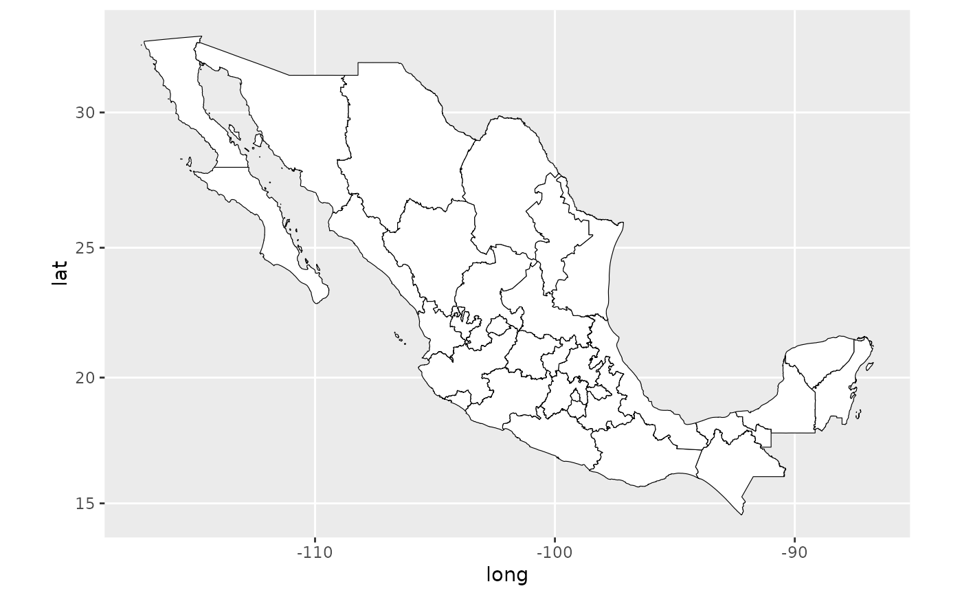
A data.frame which contains a map of all 32 Mexican states. The shapefile was modified using QGIS in order to remove the Maria islands, Socorro island, Arrecife Alacran and Guadalupe Island, then simplified with http://www.mapshaper.org/
Usage
data(mxstate.map)