A data.frame which contains a map of all Mexican municipios plus boroughs of the Federal District. The shapefile was modified using QGIS in order to remove the Maria islands, Socorro island, Arrecife Alacran and Guadalupe Island, then simplified with http://www.mapshaper.org/
Usage
data(mxmunicipio.map)References
Downloaded from the "Marco Geoestadístico. Censo de Población y Vivienda 2020" shapefiles (https://www.inegi.org.mx/app/biblioteca/ficha.html?upc=889463807469)
Examples
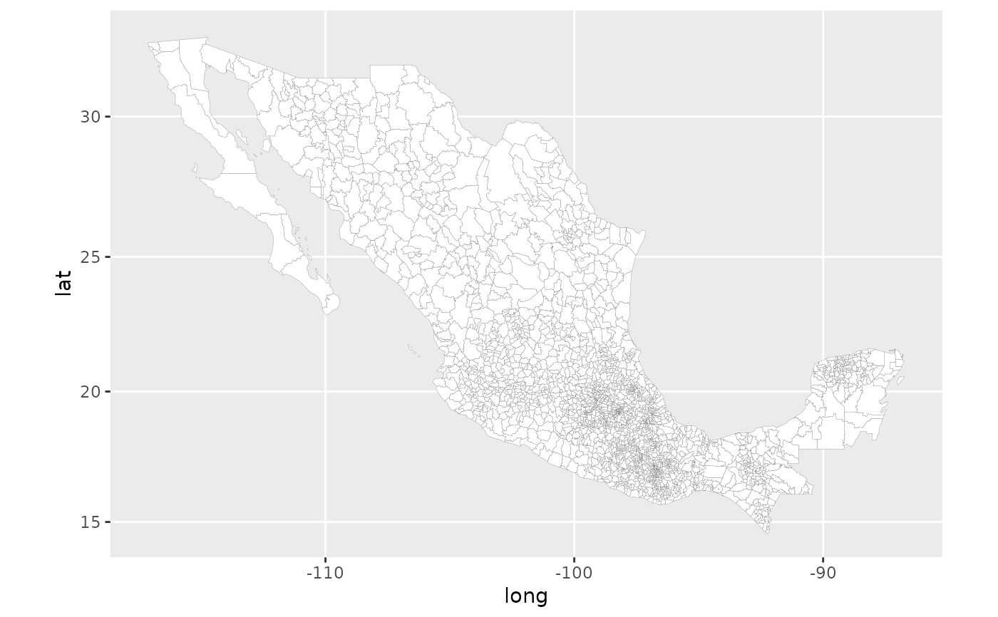
# render the map with ggplot2
library(ggplot2)

data(mxmunicipio.map)
ggplot(mxmunicipio.map, aes(long, lat, group = group)) +
  geom_polygon(fill = "white", color = "#666666", size = .05) +
  coord_map()
#> Warning: Using `size` aesthetic for lines was deprecated in ggplot2 3.4.0.
#> ℹ Please use `linewidth` instead.